

Land for sale on Foundry Road (Plot 1) Anna Valley,
SP11
- 18 Bridge Street,
Andover, SP10 1BH - Sales & Lettings 01264 849378
Description
An opportunity to acquire one of two plots of land in the picturesque Anna Valley area of Andover, with the necessary planning permissions to build a detached property on each. This parcel of land can be bought on its own or both plots. This advert is for one plot. This gives scope for customising the property to your own taste.
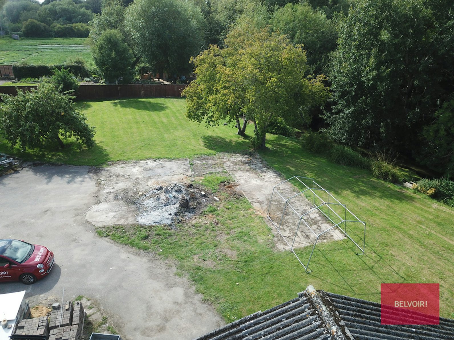
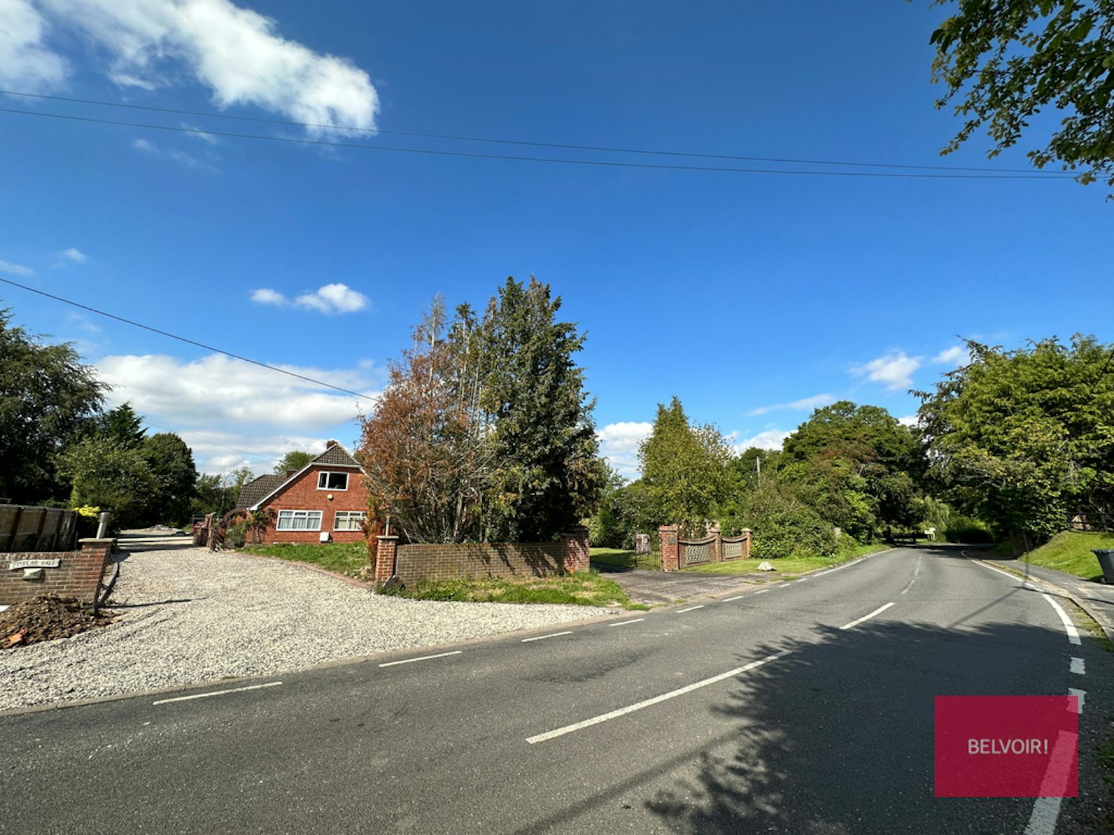
Belvoir is delighted to have exclusivity on two plots of land with full planning permission for a detached property. This generous and secluded piece of land occupies an idyllic view over Pillhill Brook and is located right on the border of Anna Valley and Upper Clatford Villages.
This is a fantastic opportunity to acquire one or both plots to create an impressive forever home in a highly desirable village within walking distance of a nature reserve, church, sought-after schools, a farm shop, a garden centre, and well-regarded public houses.
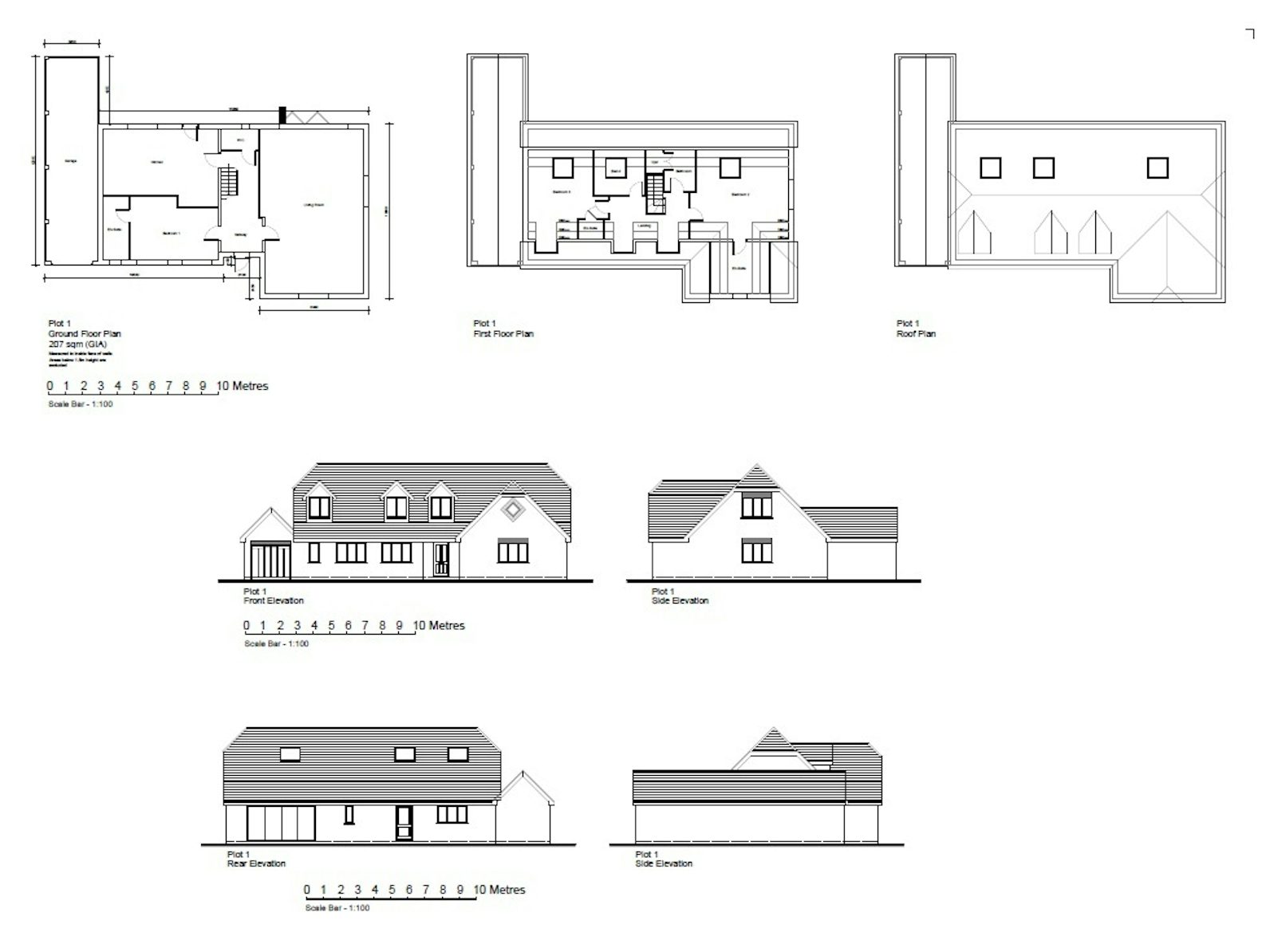
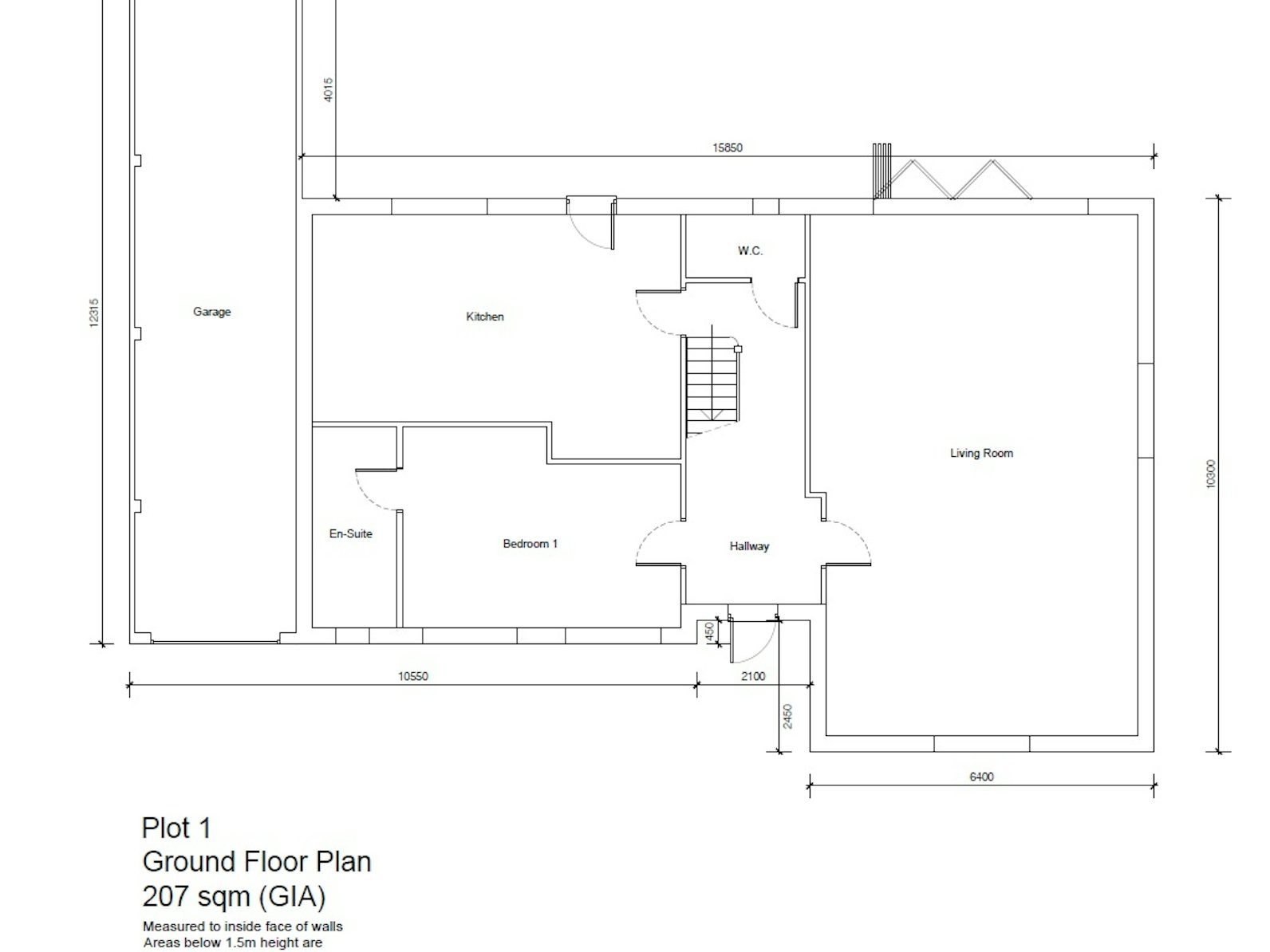
Plot 1
- Plot Size: 0.213 acres
- Building Size: 2239 sq ft / 208 sq m
Planning
Planning Application Summary: 22/00319/FULLN
PLEASE NOTE: More details available via our website
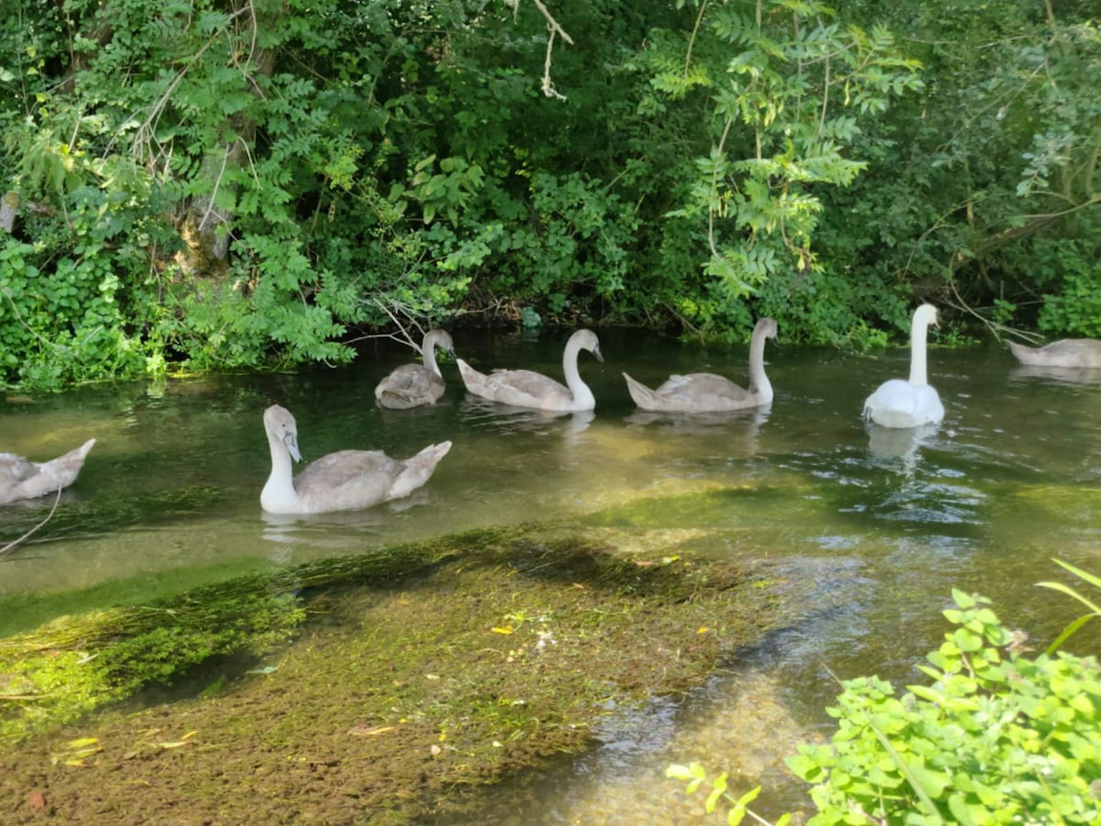
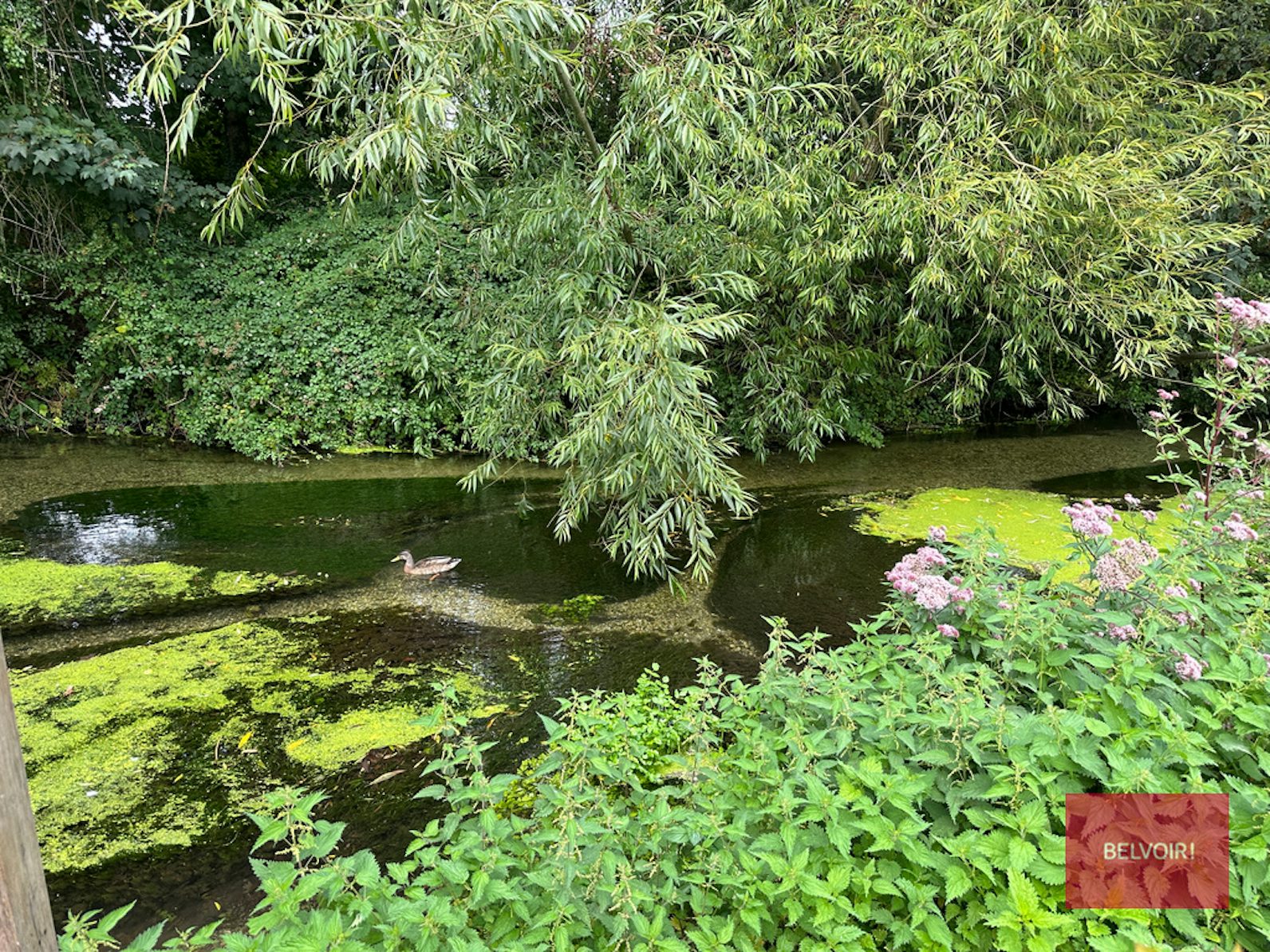
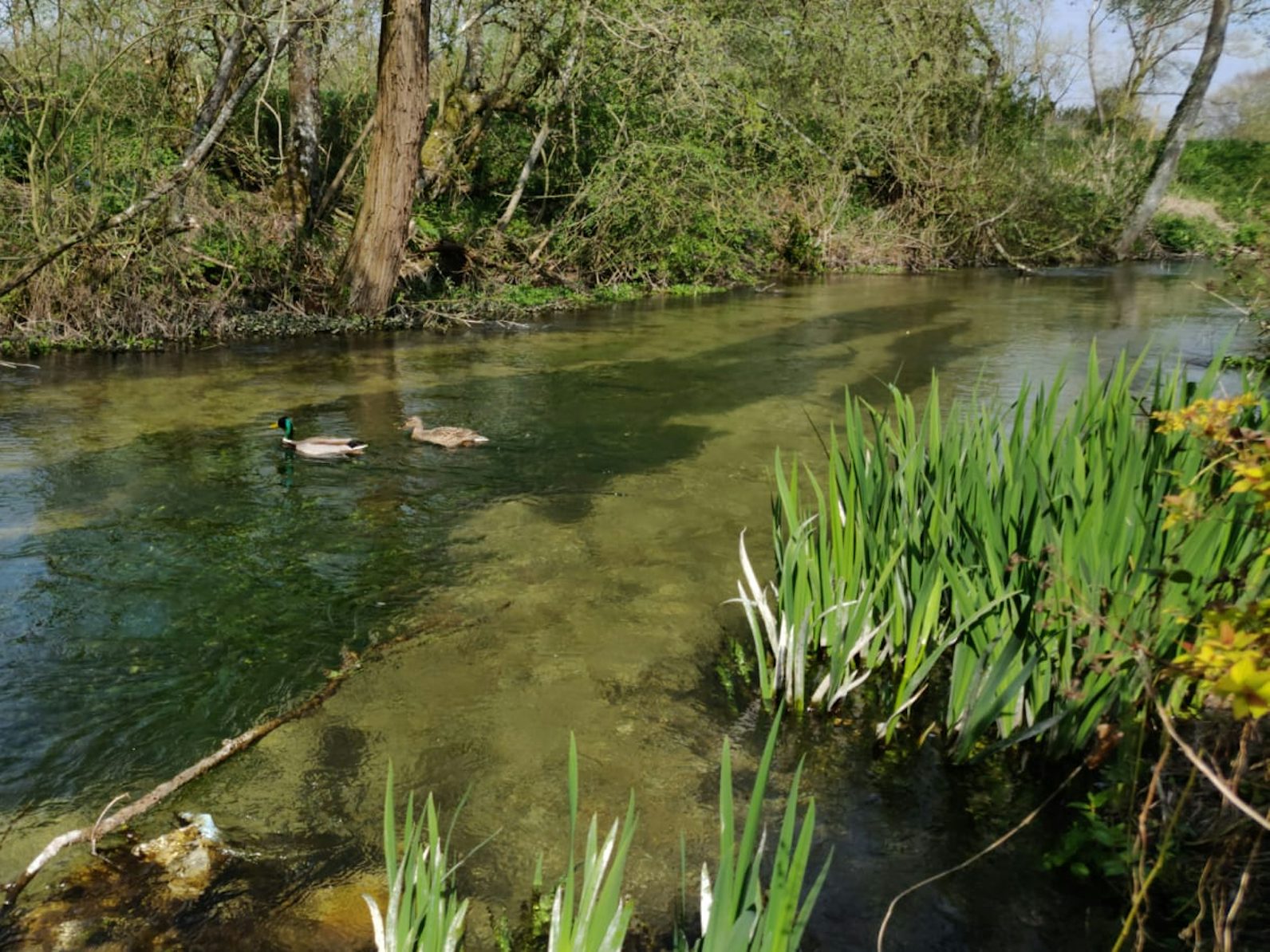
Pillhill Brook
The Pillhill Brook is known for being a clear chalk water stream and is the principle tributary of the River Anton, which in turn is a major headwater tributary of the River Test. The Brook rises upstream of Fyfield, flowing in a roughly south easterly direction before entering the River Anton to the south of Andover.
The stream supports flourishing chalk stream plant and invertebrate communities, which are, in turn, home to good populations of fish, principally brown trout and grayling, as well as mammals and birds.
Anna Valley
Anna Valley and the neighbouring Upper Clatford are steeped in history. Anna Valley is part of the village and parish of Upper Clatford. The name ‘Anna’ derives from the Celtic river ‘Anne’ meaning ‘Ash tree stream’ now known as Pillhill Brook on the Ordnance Survey Landranger map, though it is still known as the River Ann to older local people.
EPC rating: Unknown. Council tax band: X,
Mortgage Calculator
You could pay £1,526 a month for this property
Need more advice?RelatedProperties